

Yuto Itakura
Apple Leaves Disease Detection Using Deep Learning Algorithm 2024-2025

Honide Tomikura
Artificial pollination System Development for Strawberry Flowers 2024-2025
Canopy Coverage and Flower Detection for Strawberry Plants Monitoring System Using Deep Learning Algorithm, 2023-2024

Wasabi Leave Disease Detection using YOLOv7, 2022-2023
2022-2023

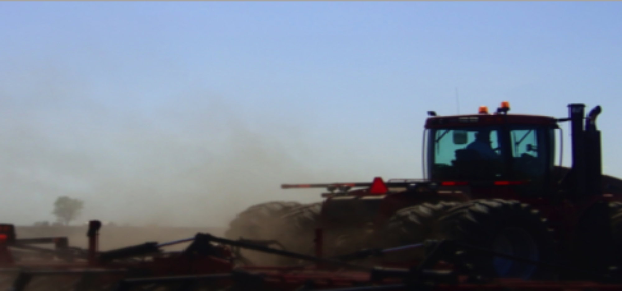
Development of Autonomous Boat to Collect Water Quality Data and Three Dimensional Map Projection of Data, 2021-2022

Remote Sensing-based Time Series Analysis for Water level Changes and its Effect on Agricultural Production in the Mekong Delta of Vietnam, 2021-2022

Program Chair’s Award
Land Suitability Assessment for Soybean Production in Simalungun District, Indonesia, 2020-2021

Detection of Leader-Follower System Using Deep Learning to Avoid Collision, 2020-2021
GIS-based Land Suitability Analysis for Coffee Plantation. Study Area: Majalengka District, West Java, 2019-2020

Biomass Estimation of Chinese Cabbage using UAV Imagery, 2019-2020
Program Chair’s Award
Using GIS with Soil Sampling to Map and Evaluation on Land Sustainability and Suitability of Rayong Province, Thailand. 2019-2020

Deep Learning System to recognize Quality Green Tea Leaves Using CNN for UAV-based Multispectral Imagery. 2019-2020
Program Chair’s Award
Development of Automation System for Japanese Pear Fruits Thinning Operation. 2019-2020

GIS & Forestry. 2018-2019

Remote Sensing in Agriculture. 2018-2019
Assessment of Land Use and Land Cover (LULC) Change in Satoyama Using GIS and Remote Sensing: A Case Study in Tsuchiura City of Ibaraki Prefecture. 2018-2019

Mapping and Monitoring of Chili Production. 2018-2019
Program Chair’s Award
Development of IoT-based Automatic Micro-controller Irrigation system for Multi-layered Garden to Produce Leafy Vegetables. 2017-2019

Agricultural Land Use Planning in the Suburb Areas of Indonesia, Research Supervisor, 2016-2017.